UN
2 Herons Way
£ 240,000
Description
We don't have a Description for this property.
- Bedrooms
- 3
- Bathrooms
- 0

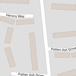

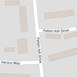


Leaflet © OpenStreetMap contributors
The heatmap indicates the level of crime in the area. The color of the heatmap indicates the crime severity and recency.
Metrics Year-on-Year
- Average area value
- 501,159.00 £Increased by 6.63 %
- Average area rental value
- 1,950.00 £/moIncreased by 1.62 %
- Est rental Yield
- 4.67 %Decreased by 4.69 %
- Crime Rate
- 24.00 %Unchanged by 0.00 %
from 469,979.00 £
from 1,919.00 £/mo
from 4.90 %
from 24.00 %
Nearby Schools
| Name | Type | Ofsted | Distance |
|---|---|---|---|
| Keep Hatch Primary School | Academy Converter | 0.34 KM | |
| All Saints Cofe (Aided) Primary School | Voluntary Aided School | Good | 0.36 KM |
| Brambles Children'S Centre | Children's Centre | 0.37 KM | |
| St Crispin'S School | Academy Converter | 0.42 KM | |
| Foundry College | Pupil Referral Unit | Good | 0.44 KM |
Images
Nearby Streets
| Name | Average Price | Average Sqft | Distance |
|---|---|---|---|
| Phoenix Avenue | £ 470,000 | 0 | 0.00 KM |
| Neville Close | £ 1,100,000 | 0 | 0.00 KM |
| Wiltshire Place | £ 329,000 | 0 | 0.00 KM |
| Southlands Road | £ 0 | 0 | 0.00 KM |
| Lonsdale Road | £ 665,000 | 0 | 0.00 KM |
Nearby Transport
| Name | NLC | TLC | Distance |
|---|---|---|---|
| Wokingham | 5696 | WKM | 2.38 KM |
| Crowthorne | 5628 | CRN | 5.33 KM |
| Winnersh | 5697 | WNS | 6.39 KM |
| Bracknell | 5693 | BCE | 7.69 KM |
| Sandhurst (Berks) | 5646 | SND | 7.75 KM |
Nearby Listings
| Address | Price | Type | Score | Distance |
|---|---|---|---|---|
| Wokingham, Berkshire, RG40 | £ 230,000 | BUY | 6 / 10 | 0.07 KM |
| Barrett Crescent, Wokingham | £ 465,000 | BUY | 6 / 10 | 0.12 KM |
| Longs Way, Wokingham, Berkshire, RG40 | £ 225,000 | BUY | 5 / 10 | 0.14 KM |
| Patten Ash Drive, Wokingham, Berkshire, RG40 | £ 375,000 | BUY | 6 / 10 | 0.17 KM |
| Stanley Road, Wokingham, Berkshire, RG40 | £ 850,000 | BUY | 8 / 10 | 0.24 KM |
Nearby Properties
| Address | Price | Distance |
|---|---|---|
| 2 Herons Way | £ 240,000 | 0.00 KM |
| 11 Herons Way | £ 77,950 | 0.00 KM |
| 17 Herons Way | £ 227,000 | 0.00 KM |
| 4 Herons Way | £ 385,000 | 0.00 KM |
| 39 Longs Way | £ 245,000 | 0.05 KM |